Remove AGL Remove Airspace Classes Remove Flight Plan
article thumbnail

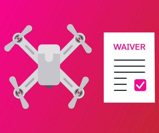
Is a Waiver to Fly Drones in Controlled Airspace Still Necessary?

Pilot Institute

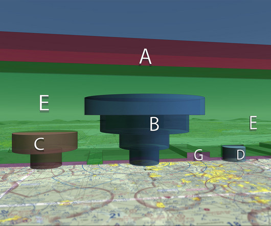
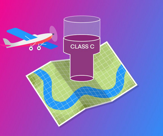
Know what special scenarios still require a waiver, such as flying BVLOS operations, flights above people, or flights that exceed the standard 400 feet AGL. What Is Controlled Airspace? Class C Altitude Range: Surface to 4,000 feet above airport elevation (charted in MSL). Found around busy regional airports.

AGL
article thumbnail

Class E Airspace Explained

Pilot Institute

Key Takeaways Class E airspace is the most common controlled airspace in the United States. It typically begins at 1200 feet AGL but can start lower in some locations. No ATC clearance is required for VFR flights below 10,000 feet. Think of Class E as the middle child of the airspace family.

Insiders

Sign Up for our Newsletter

This site is protected by reCAPTCHA and the Google Privacy Policy and Terms of Service apply.

Trending Sources

article thumbnail

Pilot’s Guide to Airspace

Flight Training Central

There are different requirements if the flight is operated under Instrument Flight Rules (IFR) or Visual Flight Rules (VFR). For example, a pilot flying IFR in controlled airspace will have to file an IFR flight plan and receive an ATC clearance. It typically extends to 4,000′ AGL.

AGL
article thumbnail

Practical Guide to Drone Laws & Regulations for Remote Pilots

Plane and Pilot

You also need to complete night-flight training. Maximum altitude : Drones must be flown at or below 400 feet Above Ground Level (AGL). Some exceptions exist when flying around buildings, but 400 feet AGL is a good number to remember. Lights must be visible for at least three statute miles.

article thumbnail

Class C Airspace Explained

Pilot Institute

Maintaining awareness of airspace boundaries helps with the planning and carrying out of successful flights. Flight Plan and Clearance : Before entering Class C airspace, IFR aircraft must file a flight plan and receive an ATC clearance. Transponder with Mode C to report altitude.

article thumbnail

Common Mistakes Pilots Make at Non-Towered Airports

Pilot Institute

Pattern altitudes are typically 1,000 feet above ground level (AGL) for piston aircraft. SVFR is only available in controlled airspace (Class B, C, D, or E surface areas) where ATC services are available. You can contact Flight Service, but they cannot give you an SVFR clearance.

article thumbnail

Drone Mapping Made Easy: A Beginner’s Guide to Aerial Surveying

Pilot Institute

Software Requirements Flight Planning Software Software solutions like DroneDeploy, DJI Terra, and Pix4Dcapture streamline flight planning by enabling pilots to set waypoints, altitude, image overlap, and flight paths precisely. Properly planned missions ensure optimal data collection for mapping accuracy.