Remove AGL Remove Altimeter Remove Weather
article thumbnail

How to Read METAR and TAF Reports

Pilot Institute

Part of these standards is understanding how weather conditions can affect the flight performance of their drones. To this end, drone pilots are expected to understand weather forecasts in the form of METAR and TAF reports. Key Takeaways METAR and TAF provide vital weather info for pilots. METAR vs TAF: Whats the Difference?

AGL 98
article thumbnail

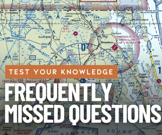
Most Frequently Missed Private Pilot Written Test Questions—January 2025

Flight Training Central

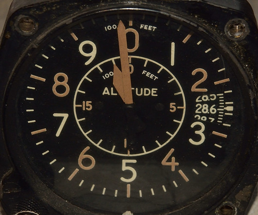
Based upon the altitude indicated by altimeter #3, which course direction is appropriate for this VFR cruising altitude? Of what value is the Weather Depiction Chart to the pilot? For determining general weather conditions on which to base flight planning Correct! 3,823 feet MSL the surface 700 feet AGL Correct!

Insiders

Sign Up for our Newsletter

This site is protected by reCAPTCHA and the Google Privacy Policy and Terms of Service apply.

Trending Sources

article thumbnail

Trial by Ice

Air Facts

Take into consideration that weather reporting, and the dissemination of these reports to pilots, was not as accurate then as it is now. In just six months I would reflect on my training and agonize over how inadequately I had been prepared for the real world of instrument flying, which is weather.

VOR 52
article thumbnail

Understanding Different Types of Altitudes

Northstar VFR

Pilots know that weather has an intense impact on flying. Before discussing the different types of altitude, let's discuss the one common thing every pilot uses in reference to altitude: The altimeter. An altimeter is standard in every aircraft, and its sole job is to inform the pilot of how high in the sky they are.

article thumbnail

RNAV Approaches Simplified: A Guide for New Pilots

Pilot Institute

Approach Minimums When youre flying in bad weather and cant see much, you can rely on your trusty instruments to guide you. Theyre pretty much the same thing, but heres the difference: DH is measured above the ground (AGL). Thats why some approach plates dont allow LNAV/VNAV when the weather is too extreme.

article thumbnail

What Is a SPECI and When Is It Issued?

Pilot Institute

In aviation, staying ahead of the weather is a must. When weather conditions shift unexpectedly, that’s when a SPECI report comes in. A SPECI (or Special Report) offers a quick weather update between the routine METARs. Let’s explore how SPECIs are going to help you plan around unexpected weather twists.

article thumbnail

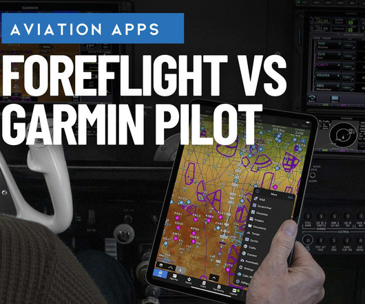
ForeFlight vs. Garmin Pilot: 3 key differences to help you decide

iPad Pilot News

ForeFlight ForeFlight first got its start as a weather app on iPhone and quickly grew into a full-featured EFB app as the iPad gained popularity among pilots. Garmin Pilot Compared to ForeFlights start as a weather app, Garmins roots have always been in GPS navigation, and thats where this app really excels.

Pilot 105