
We Fly: Epic E1000 AX
Flying Magazine
JULY 22, 2025
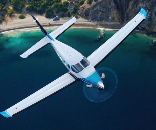
Full-fuel payload is a whopping 1,150 pounds, and max landing weight is 7,600. The yaw damper automatically activates when 250 feet up on takeoff and deactivates at 200 feet agl on landing. Other relevant numbers for the E1000 AX are its max cruise speed of 333 knots, max operating altitude of FL 340 and NBAA range of 1,560 nm.


Let's personalize your content