article thumbnail

How to Fly an ILS Approach

Pilot Institute

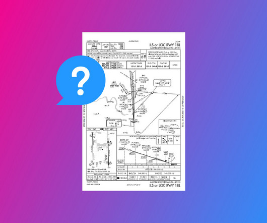
DME (Distance Measuring Equipment) calculates the slant range distance to the runway using radio frequencies. Modern IFR-certified GPS can also substitute for DME, providing precise distance information as outlined in AIM 1-2-3. This is provided by Marker Beacons, DME, and GPS.

article thumbnail

Experience in the Chair: Guiding a Twin Beech Home

Air Facts

Instrument flights were conducted between these navigation beacons along airways (often called highways in the sky) and a flights progress was measured by crossing intersections (beams from other navigation aids), or in some cases by DME (Distance Measuring Equipment) signals sent out from some VOR stations.

Insiders

Sign Up for our Newsletter

This site is protected by reCAPTCHA and the Google Privacy Policy and Terms of Service apply.

Trending Sources

article thumbnail

How to Read an IFR Approach Chart

Pilot Institute

However, if you look at the requirements section, youll find that you also need Distance Measuring Equipment (DME) if youre entering from a particular waypoint. Since this example chart shows an ILS or LOC approach, you already know your aircraft requires a functioning ILS receiver.

article thumbnail

ILS Explained (With Examples)

Pilot Institute

Marker Beacons These days, the ILS is generally paired with a DME (Distance Measuring Equipment). It allows the pilots to compare their height at each DME distance to the promulgated chart. Usually, this is small, light aircraft used in general aviation(single-engine airplanes).

Knot 52
article thumbnail

Navigating Instrument Failure at 10,000 Feet

Fear of Landing

One hour out, our ground speed is an absurdly slow: seventy knots as indicated by our distance measuring equipment (DME). I tighten my five-point harness that secures our shoulders and hips, with a belt between our legs to prevent us from slipping forward. Out of the corner of my eye, I see Gavin tighten his harness.

Weather 98