

From Analog to Digital
Plane and Pilot
JULY 31, 2025
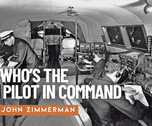
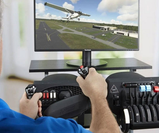
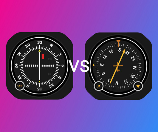
My first logbook entry in 1992 records a flight in a Beechcraft Skipper , its compact cockpit and low-wing design thrilling for a novice pilot. Aviation then was a realm of VOR needles, paper charts, and the pure joy of stick-and-rudder flight. Today, glass cockpits dominate even entry-level aircraft.


Let's personalize your content