

Flight Instruments vs. Avionics
WayMan
JUNE 16, 2025
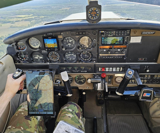
The main collection, commonly known as the “six-pack,” gives the primary flight parameters: Airspeed Indicator (ASI): Airspeed Indicator shows the speed of the aircraft with respect to the surrounding air mass, an important parameter for all flight phases.


Let's personalize your content