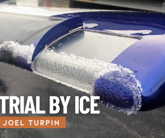
Remove Clearance Remove Descent Remove VOR
article thumbnail

Trial by Ice

Air Facts

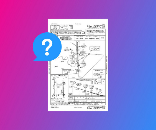
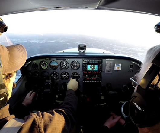
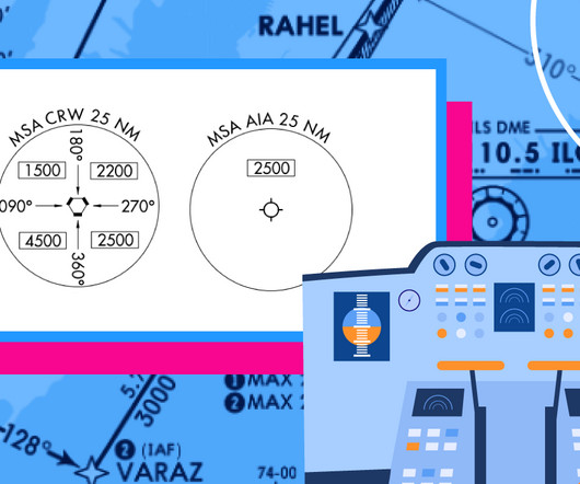
I filed my IFR flight plan, received a clearance and took off into the gray winter sky. Just north of Jefferson City, the Kansas City Center controller cleared us to the Jeff City VOR, which was on the airport, to hold at 4,000 feet. I got out my instrument approach chart and studied the holding pattern and the VOR approach procedure.

VOR
article thumbnail

Flight Instruments vs. Avionics

WayMan

Altimeter: Shows the altitude of the aircraft above a designated reference point, essential for flight level assignment and terrain clearance. Vertical Speed Indicator (VSI): Indicates the aircraft’s rate of climb or descent, making it possible to accurately control the vertical flight path.

Insiders

Sign Up for our Newsletter

This site is protected by reCAPTCHA and the Google Privacy Policy and Terms of Service apply.

Trending Sources

article thumbnail

RNAV Approaches Simplified: A Guide for New Pilots

Pilot Institute

Before RNAV, pilots had to rely on radios (NAVAIDs) and antennas on the ground such as VORs (Very High-Frequency Omnidirectional Range) and NDBs (Non-Directional Beacons). LNAV Approach An LNAV (Lateral Navigation) approach helps guide you left and right toward the runway, but it doesnt tell you how to control your descent.

article thumbnail

Are There Consequences for Declaring an Emergency in Flight?

Flying Magazine

ATC was in communication with the pilot, as the airplane entered several right- and left-hand banks and rolls and entered a steep descent while in a bank angle. The pilot requested Special VFR for low ceilings and visibility, but didnt really express to ATC the issue he was having trying to maintain clearance from the clouds, Sedor said.

article thumbnail

How to Read an IFR Approach Chart

Pilot Institute

The descent profile. Flying at MSA guarantees at least 1,000 feet of obstacle clearance. This perspective makes the descent path easier to understand. Non-precision approaches (such as a localizer, VOR, LNAV, or NDB) use a Maltese cross for the FAF. That V represents the Visual Descent Point or VDP.

article thumbnail

The Day I Learned to Trust My Instruments

Air Facts

With takeoff clearance from the tower, I pushed the throttle forward. I tuned the Manila VOR to confirm my position and set up the next waypoint. I acknowledged and began a gentle descent. I filed my flight plan and headed out. The engine responded smoothly, and Charlie lifted off into the calm morning sky.

article thumbnail

Delving into the Delmarva

Photographic Logbook

I departed the Williamson-Sodus Airport solo at 8:00 am and picked up my instrument clearance in the air from a Rochester Approach controller with a familiar voice. Geneva, NY and the north end of Seneca Lake. At the end of our otherwise perfunctory exchange, Rochester signed off with, "Have a great flight, Chris!"