Remove Descent Remove Flight Plan Remove VOR
article thumbnail

Trial by Ice

Air Facts

The Cessna 150 Since I was the only instrument rated pilot on the team, and the weather was marginal VFR, I chose to fly the 172, N7358G, up to Fairfield on an IFR flight plan above the clouds at 7,000 feet. My IFR flight plan called for a climb through some 4,000′ of clouds up to a cruise altitude of 7,000 feet.

VOR
article thumbnail

Flight Instruments vs. Avionics

WayMan

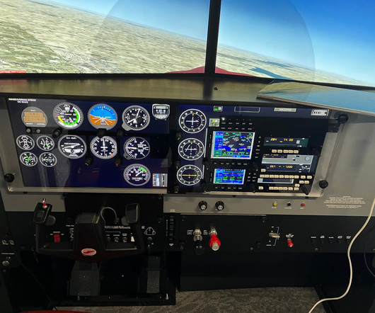
Vertical Speed Indicator (VSI): Indicates the aircraft’s rate of climb or descent, making it possible to accurately control the vertical flight path. But the extent of avionics is much greater than simple presentation of basic flight information.

Insiders

Sign Up for our Newsletter

This site is protected by reCAPTCHA and the Google Privacy Policy and Terms of Service apply.

Trending Sources

article thumbnail

The Day I Learned to Trust My Instruments

Air Facts

I filed my flight plan and headed out. I tuned the Manila VOR to confirm my position and set up the next waypoint. I acknowledged and began a gentle descent. The METAR and TAF showed CAVOK along most of the route, with a mention of scattered clouds near Bohol by late morning. But as I flew closer, they began to thicken.

article thumbnail

Delving into the Delmarva

Photographic Logbook

I momentarily put HAL into heading mode, inserted the East Texas VOR into the route, programmed GPS direct to ETX, then switched back to "nav" mode to avoid any unexpected turns from tinkering with the active leg in the GPS flight plan. It kept me busy for a few minutes.

article thumbnail

Flight Sims for the Win: It’s All About Repetition and Drill

Flying Magazine

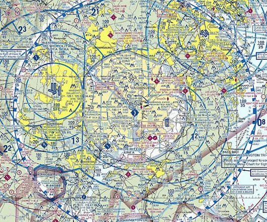
Put the aircraft in level flight to give them a moment to consider their next course of action so they are not anxiously doing climbs, descents, and unplanned turns. Next, introduce the VOR. Have them use the VOR to determine what radial they are on, and if the unit has DME, show you where they are on a sectional.

article thumbnail

Understanding LPV, LNAV, and VNAV: The Easy Way

Pilot Institute

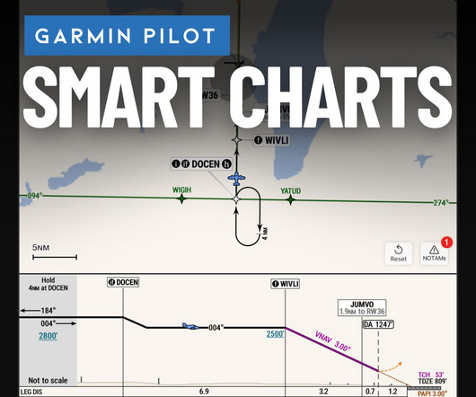
VNAV adds automated vertical guidance to approaches, reducing pilot workload during descents. It calculates a descent route to maintain a stable approach from the initial approach fix to touchdown. With the right equipment, you can make good decisions during flight planning and be ready for the approaches available at your destination.

article thumbnail

Sweet Dreams

Photographic Logbook

However, there was a presidential TFR (temporary flight restriction) around Scranton that lay on a direct line between Sodus and Philly. It added less than 10 minutes to the overall flight time. The reroute was minimal, an insertion of Yardley VOR (ARD) into my flight plan. Seneca and Cayuga Lakes in the gloom.