article thumbnail

How to Fly an ILS Approach

Pilot Institute

So, how do pilots manage to land their aircraft safely and accurately without even being able to see where theyre going? The ILS (Instrument Landing System) uses radio signals to help pilots align the aircraft accurately on their approach to a runway. Lets learn more about this system! What Is an ILS Approach?

article thumbnail

A Day in the Life of a Pilot

Ask Captain Lim

A Safe Descent About 30 minutes before landing, pilots begin preparations for descent, con figuring flaps and briefing the approach. Weather too plays a pivotal role; low visibility may require an Instrument Landing System (ILS) approach, where the plane follows radio signals to the runway.

Insiders

Sign Up for our Newsletter

This site is protected by reCAPTCHA and the Google Privacy Policy and Terms of Service apply.

Trending Sources

article thumbnail

RNAV Approaches Simplified: A Guide for New Pilots

Pilot Institute

Theyre especially useful for airports that dont have the budget or suitable terrain to install an Instrument Landing System (ILS). This makes more airports accessible under Instrument Flight Rules (IFR). Instead of a Decision Height (DH), youll use something called a Minimum Descent Altitude (MDA). Thats up to you!

article thumbnail

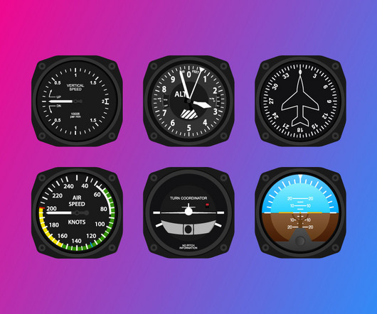
The Six Pack: Basic Flight Instruments

Pilot Institute

The Heading Indicator should not be confused with the Horizontal Situation Indicator (HSI), which is an evolution of the Heading Indicator that includes VHF Omnidirectional Range (VOR) and Instrument Landing System (ILS) indications. This information is used to determine altitude, rate of climb or descent (i.e.,

article thumbnail

How to Fly a VOR Approach: Made Easy

Pilot Institute

Unlike an Instrument Landing System (ILS), a VOR approach only provides horizontal guidance. So, you must manage the descent and altitude using the VORs published step-down fixes and minimum descent altitudes (MDAs). Follow published descent altitudes from the approach chart. Minimum descent altitude.

VOR
article thumbnail

VASI vs. PAPI: Understanding the Differences and Similarities

Pilot Institute

Airports with precision instrument landing systems (ILS), like Heathrow, often pair PAPI with ILS to provide pilots with extra visual confirmation during approaches, especially in bad weather or at night. Conclusion VASI and PAPI lights help you with your landings. Safe landings!

article thumbnail

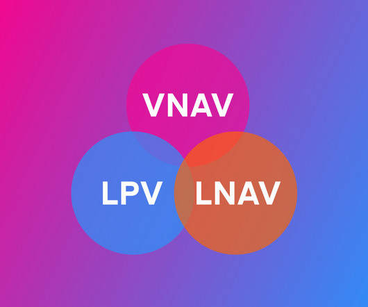
Understanding LPV, LNAV, and VNAV: The Easy Way

Pilot Institute

VNAV adds automated vertical guidance to approaches, reducing pilot workload during descents. Explaining Each in Simple Terms) LPV, LNAV, and VNAV are three navigation types that provide Global Positioning System (GPS) based instrument approach guidance for your aircraft. LNAV provides basic horizontal guidance using GPS.