article thumbnail

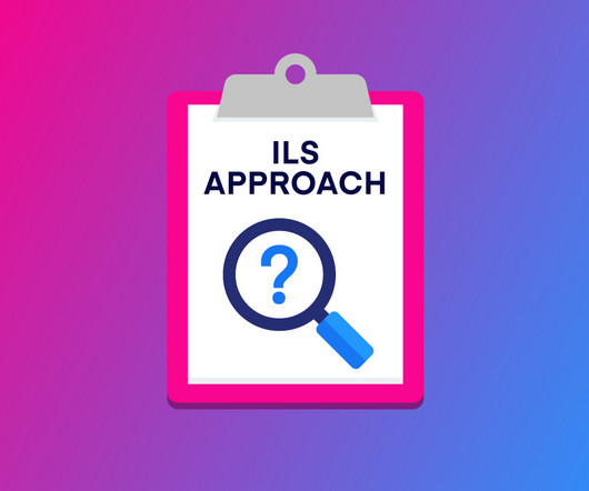
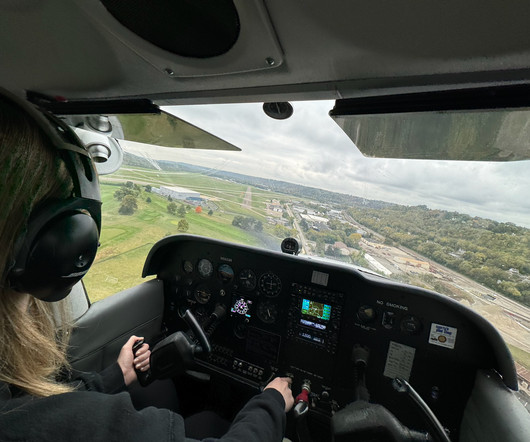
How to Fly an ILS Approach

Pilot Institute

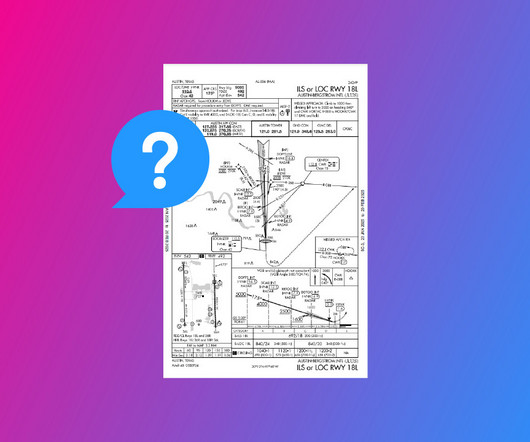
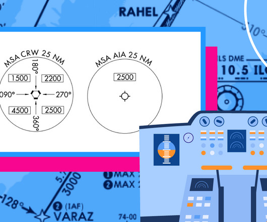
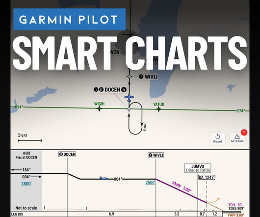
Non-Precision Approaches Non-Precision Approaches: Only provide lateral guidance, requiring pilots to level off at a Minimum Descent Altitude (MDA) until the runway is visible. ILS): Include vertical guidance, allowing a continuous descent to a Decision Height (DH) where the pilot decides to land or go missed. for the localizer and 0.7

article thumbnail

How to Fly a VOR Approach: Made Easy

Pilot Institute

Are you curious about flying a VOR approach? If you’re aiming to master instrument-rated flying, it’d be valuable to learn about VOR approaches. We’ll cover what a VOR approach is, how to fly it step-by-step, and even whether GPS can replace it in today’s navigation. Ready to make VOR approaches easy?

VOR 52
Insiders

Sign Up for our Newsletter

This site is protected by reCAPTCHA and the Google Privacy Policy and Terms of Service apply.

Trending Sources

article thumbnail

Air Facts IFR Challenge

Air Facts

Climb/descent within the block can be made at the discretion of the pilot. However, once the pilot starts descent and verbally reports leaving an altitude in the block, the pilot may not return to that altitude without additional ATC clearance. The pilot may level off at any intermediate altitude within this block of airspace.

article thumbnail

Trial by Ice

Air Facts

Just north of Jefferson City, the Kansas City Center controller cleared us to the Jeff City VOR, which was on the airport, to hold at 4,000 feet. I got out my instrument approach chart and studied the holding pattern and the VOR approach procedure. Then my worst fears became reality.

VOR 52
article thumbnail

Most frequently missed instrument test questions—November 2024

Flight Training Central

At which altitude and location on V573 would you expect the navigational signal of the HOT VOR/DME to be unreliable? You must receive an additional ATC clearance to leave your current altitude at FL290 and begin a descent to cross STELA at 11,000 feet. climb to, but not descend from 4,000 feet, without further ATC clearance.

article thumbnail

The Day I Learned to Trust My Instruments

Air Facts

I tuned the Manila VOR to confirm my position and set up the next waypoint. I acknowledged and began a gentle descent. Below me stretched a patchwork of rice fields, coconut groves, and coastal villages. The air was smooth, the engine humming steadily, and that familiar sense of freedom settled in.

article thumbnail

RNAV Approaches Simplified: A Guide for New Pilots

Pilot Institute

Before RNAV, pilots had to rely on radios (NAVAIDs) and antennas on the ground such as VORs (Very High-Frequency Omnidirectional Range) and NDBs (Non-Directional Beacons). LNAV Approach An LNAV (Lateral Navigation) approach helps guide you left and right toward the runway, but it doesnt tell you how to control your descent.