Remove Final Approach Remove Flight Plan Remove VOR
article thumbnail

Experience in the Chair: Guiding a Twin Beech Home

Air Facts

The equipment was often not much modernized from the military days so the pilots likely hoped for good weather as they filed their flight plans. The longest runways had front course and back course ILS (Instrument Landing Systems) and an on-field VOR that provided navigation and approach capabilities for aircraft on instrument flights.

article thumbnail

Trial by Ice

Air Facts

The Cessna 150 Since I was the only instrument rated pilot on the team, and the weather was marginal VFR, I chose to fly the 172, N7358G, up to Fairfield on an IFR flight plan above the clouds at 7,000 feet. My IFR flight plan called for a climb through some 4,000′ of clouds up to a cruise altitude of 7,000 feet.

VOR 52
Insiders

Sign Up for our Newsletter

This site is protected by reCAPTCHA and the Google Privacy Policy and Terms of Service apply.

Trending Sources

article thumbnail

Sweet Dreams

Photographic Logbook

However, there was a presidential TFR (temporary flight restriction) around Scranton that lay on a direct line between Sodus and Philly. It added less than 10 minutes to the overall flight time. The reroute was minimal, an insertion of Yardley VOR (ARD) into my flight plan. Seneca and Cayuga Lakes in the gloom.

article thumbnail

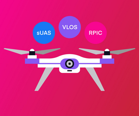
Drone Lingo Simplified: Acronyms Every Pilot Needs To Know

Pilot Institute

Pilots are required to check for NOTAMs along their relevant routes or locations before the start of a flight. NOTAMs are very important in that they can provide information that can cause a pilot to change their flight plans, such as Temporary Flight Restrictions (TFRs) or an airport that has become temporarily unavailable.

Pilot 52
article thumbnail

Into the Flight Restricted Zone | Part 1, Of PINs and Prop Locks

Photographic Logbook

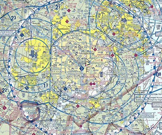
New Adventures in Flight Planning and Filing I decided to test-drive my PIN and the whole FRZ process for the first time as my annual fall solo flight in October of 2023. Any flight into the FRZ requires a FRZ flight plan. Just north of the Selinsgrove VOR, Harrisburg called with the first change in routing.

article thumbnail

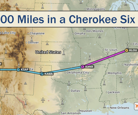
2700 Miles in a Cherokee Six

AeroSavvy

Piper PA-32 Cherokee Six Navigation equipment includes a Garmin GNS-530W GPS navigator and two VOR receivers for secondary navigation. An autopilot and Aspen primary flight display reduce workload on long flights. Phoenix Approach Control gave us a few delay vectors before turning us onto final approach.

article thumbnail

The Key West of Ohio

Photographic Logbook

Off Sodus, I briefly leveled at 2,500 feet to remain visual until I received my instrument clearance from Rochester Approach. During flight planning, I determined that 8,000 feet would provide the best wind advantage of the available preferred westbound IFR cruise altitudes. It must have been the mutton chops.

Runway 89