Remove AGL Remove Ceiling Remove Weather
article thumbnail

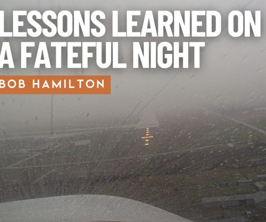
I Am UNSAFE Checklist—Lessons Learned on a Fateful Night

Air Facts

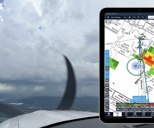
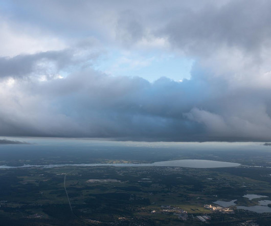
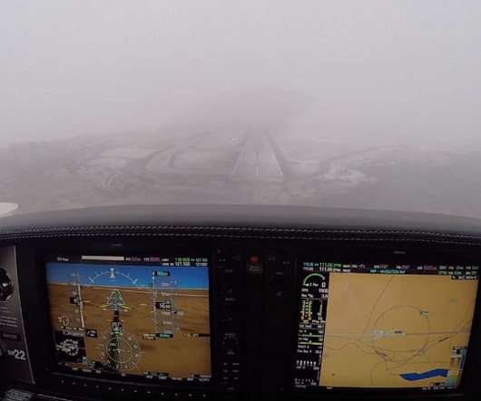
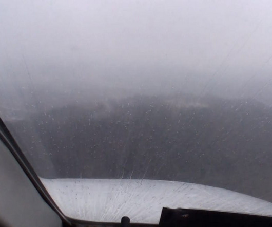
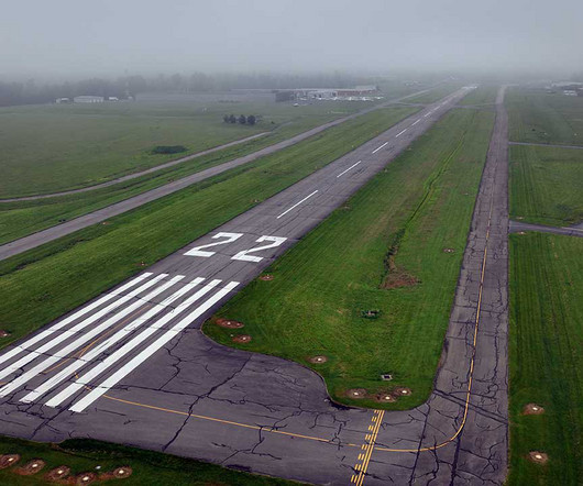
It was early winter, but the current skies and projected weather looked favorable, so I decided to fly rather than drive. I decided to fly first and eat later due to approaching weather (mistake #1), and, after a weather briefing, estimated I could get to Chicago (DuPage Airport (KDPA)) before the weather from the west did (mistake #2).

article thumbnail

How to Read METAR and TAF Reports

Pilot Institute

Part of these standards is understanding how weather conditions can affect the flight performance of their drones. To this end, drone pilots are expected to understand weather forecasts in the form of METAR and TAF reports. Key Takeaways METAR and TAF provide vital weather info for pilots. METAR vs TAF: Whats the Difference?

AGL
Insiders

Sign Up for our Newsletter

This site is protected by reCAPTCHA and the Google Privacy Policy and Terms of Service apply.

Trending Sources

article thumbnail

Trial by Ice

Air Facts

Take into consideration that weather reporting, and the dissemination of these reports to pilots, was not as accurate then as it is now. In just six months I would reflect on my training and agonize over how inadequately I had been prepared for the real world of instrument flying, which is weather.

VOR
article thumbnail

Drone Lingo Simplified: Acronyms Every Pilot Needs To Know

Pilot Institute

AGL Above Ground Level AGL is simply a way to tell the basis from which any given height or altitude is measured. Simply put, 400 feet AGL means that the 400 feet is measured from the underlying ground surface above the specific airspace. VFR requires minimum weather and visibility conditions.

article thumbnail

We Fly: Epic E1000 AX

Flying Magazine

We consider that reassuring when the weather becomes turbulent. Courtesy: Epic Aircraft] Avionics The big change in the AX is the avionics suite, starting with the Garmin G1000 NXi integrated flight deck with synthetic vision, vital traffic, engine monitoring, 3D Safe Taxi and Taxiway Routing, Smart Glide, and weather. With a 15.4-1

article thumbnail

Is a Waiver to Fly Drones in Controlled Airspace Still Necessary?

Pilot Institute

Know what special scenarios still require a waiver, such as flying BVLOS operations, flights above people, or flights that exceed the standard 400 feet AGL. Shelf area: 10 NM radius, from 1,200 ft AGL to 4,000 ft AGL. Class D Altitude & Shape: Surface to 2,500 feet AGL (charted in MSL). What Is Controlled Airspace?

AGL
article thumbnail

Quiz: Airspace classifications and rules

Flight Training Central

Each class of airspace is depicted with unique markings on the sectional chart and different VFR weather minimums and equipment requirements. What is the minimum ceiling and visibility for takeoff, landing, or entering the traffic pattern of an airport in Class E airspace under visual flight rules? airspace system. Both are correct.