Remove AGL Remove Payload Remove Pilot
article thumbnail

Practical Guide to Drone Laws & Regulations for Remote Pilots

Plane and Pilot

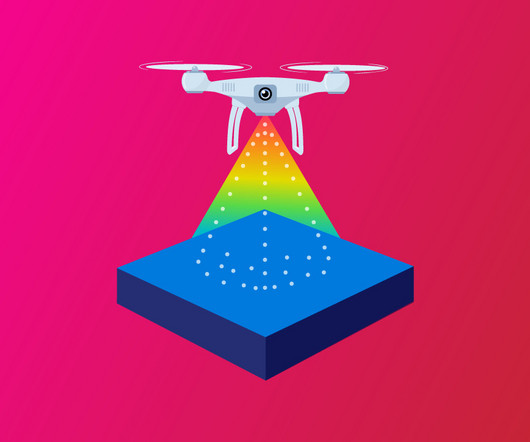
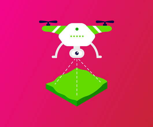
Before August 2016, drone pilots had the freedom to fly in a significant portion of controlled and uncontrolled airspace with few restrictions. Whether you want to fly a drone for fun or as a commercial pilot , you must understand and follow these rules. Here are some of the basics to get you started.

Pilot 60
article thumbnail

LiDAR Drones: The Best Models for Surveying, Mapping, and More

Pilot Institute

With support for a wide variety of payloads like LiDAR, IRi, and optical gas imaging, this drone is ready for everything from mapping to inspections. Payloads: Visual, IR, Zoom, LiDAR, Optical Gas Imaging, Magnetometer, Radiation Detection Weight / Max Takeoff Weight: 14 lbs / 20 lbs Price: $10,000 Use Case: Multi-use heavy lift aircraft.

Payload 52
article thumbnail

Drone Mapping Made Easy: A Beginner’s Guide to Aerial Surveying

Pilot Institute

Payload Capacity for Additional Sensors Some mapping tasks require specialized equipment, such as LiDAR scanners or thermal imaging cameras. Always guarantee the drone can handle additional payload weight without compromising flight performance. The payload used will depend upon the operational requirements. Phantom 4 Pro V2.0

Payload 52