Remove AGL Remove Turbulence Remove Weather
article thumbnail

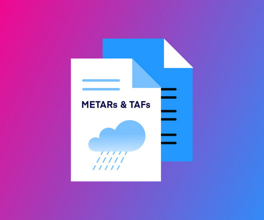
How to Read METAR and TAF Reports

Pilot Institute

Part of these standards is understanding how weather conditions can affect the flight performance of their drones. To this end, drone pilots are expected to understand weather forecasts in the form of METAR and TAF reports. Key Takeaways METAR and TAF provide vital weather info for pilots. METAR vs TAF: Whats the Difference?

AGL 98
article thumbnail

ForeFlight adds wake turbulence alerts

iPad Pilot News

ForeFlight adds wake turbulence alerts iPad Pilot News Datalink weather stole the show when portable ADS-B technology debuted over a decade ago, providing pilots with free in-flight weather imagery in mobile apps like ForeFlight. The alert can be dismissed with a tap or will disappear after 10 seconds if not acknowledged.

Insiders

Sign Up for our Newsletter

This site is protected by reCAPTCHA and the Google Privacy Policy and Terms of Service apply.

Trending Sources

article thumbnail

Drone Lingo Simplified: Acronyms Every Pilot Needs To Know

Pilot Institute

AGL Above Ground Level AGL is simply a way to tell the basis from which any given height or altitude is measured. Simply put, 400 feet AGL means that the 400 feet is measured from the underlying ground surface above the specific airspace. VFR requires minimum weather and visibility conditions.

Pilot 52
article thumbnail

Riding the Mountain Waves

Plane and Pilot

Often, turbulence is the harbinger of mountain waves, not the ideal ceiling—and visibility unlimited—day. FAA weather charts can help for higher altitudes but when just a few thousand feet agl, they may be less useful. Great Falls weather is fair and warm. We experienced moderate turbulence even at our gate.

article thumbnail

Long Trips & Small Airplanes

Plane and Pilot

Maybe it’s the Georgia flying weather, or maybe it’s the ever-increasing emphasis on “old” pilot instead of “bold” pilot, but it seems that flight planning these days is a lot more about if and when than about route and altitude. But if I was going VFR over strange territory, I would want lots more than 1,000 feet agl.

article thumbnail

Trial by Ice

Air Facts

Take into consideration that weather reporting, and the dissemination of these reports to pilots, was not as accurate then as it is now. In just six months I would reflect on my training and agonize over how inadequately I had been prepared for the real world of instrument flying, which is weather.

VOR 52
article thumbnail

How Low is Too Low?

Plane and Pilot

I cursed my decision to depart in developing low weather, but the only choice now was to press on through the crud, dodging cellular towers lining the highway. A call to home base for a land-supported retrieval provided ample opportunity for explanation in response to my peers’ interrogation: “What were you thinking, flying in this weather?”

Weather 82