Remove Airlines Remove Final Approach Remove VOR
article thumbnail

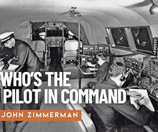
Experience in the Chair: Guiding a Twin Beech Home

Air Facts

After the war, many surplus aircraft were repurposed for civilian use in business aviation, regional airlines, and bush operations. After the war, many surplus aircraft were repurposed for civilian use in regional airline operations. In the 70s, enroute navigation was usually on VOR Airways (Very High Frequency Omnidirectional Radio).

article thumbnail

Trial by Ice

Air Facts

Just north of Jefferson City, the Kansas City Center controller cleared us to the Jeff City VOR, which was on the airport, to hold at 4,000 feet. I got out my instrument approach chart and studied the holding pattern and the VOR approach procedure. Then my worst fears became reality.

VOR 52
Insiders

Sign Up for our Newsletter

This site is protected by reCAPTCHA and the Google Privacy Policy and Terms of Service apply.

Trending Sources

article thumbnail

Who is the pilot in command of your aircraft?

Air Facts

“The instrument conditions, likely turbulence, and increased workload imposed by beginning the approach phase of the flight presented a situation that was conducive to the development of spatial disorientation and a loss of situational awareness. Book work and sim time really do pay off.

article thumbnail

A Slow Flight to India – Day 3 –Hurghada-Kuwait

ABEAM

Hurghada Approach passed us off to Cairo Control and they refused to give us a direct to the first Saudi VOR WEJ at the east side of the Red Sea due to unknown reasons. We coasted into mainland of Saudi-Arabia near the WEJ VOR and continued onwards to Al Ula. MHz with an airliner taking off from there: that was new !

VOR 52
article thumbnail

2700 Miles in a Cherokee Six

AeroSavvy

Piper PA-32 Cherokee Six Navigation equipment includes a Garmin GNS-530W GPS navigator and two VOR receivers for secondary navigation. Cherokee Six instrument panel Like my airline job, I fly nearly paperless using an iPad Mini and the ForeFlight app for navigation charts. Santa Fe is located 6,349 feet above sea level.

article thumbnail

Into the Flight Restricted Zone | Part 1, Of PINs and Prop Locks

Photographic Logbook

Just north of the Selinsgrove VOR, Harrisburg called with the first change in routing. Among General Aviation pilots, there was great fear that private aircraft would be permanently barred from controlled airspace, particularly around the epicenters of those attacks in New York City and Washington DC. Welcome to College Park!"

article thumbnail

The Key West of Ohio

Photographic Logbook

West of the Geneseo VOR, I passed high above Silver Lake and the gorge in Letchworth State Park. In the 1930s, Island Airways operated Ford Trimotors on one of the shortest airline routes ever created between what is now Erie-Ottawa International Airport, Kelley's Island, and the Bass Islands. Reflection It was a wonderful day.

Runway 89