article thumbnail

Terminal Radar: It’s the Weather Pilots Don’t See

Flying Magazine

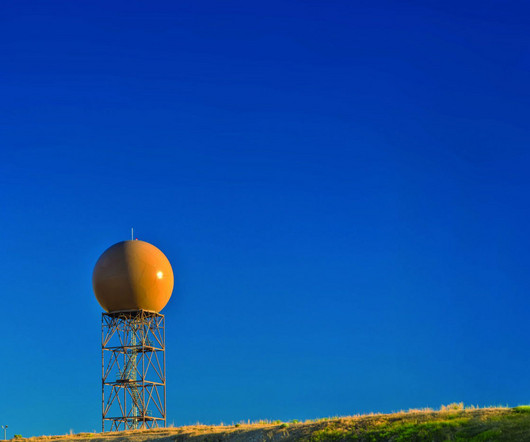
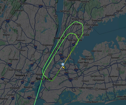
Even if you have a datalink weather capability in the cockpit, dont give up on your air traffic controllers. Your satellite-based weather receiver becomes less effective in the busy terminal area due to its latencyespecially if an update or two is missed. Plus, the airspace is more congested, giving you less options to deviate.

article thumbnail

Medical air ambulance crash in Philadelphia claims six lives

Aerotime

At 18:06:56, the jet suddenly entered a steep descent, with the last recorded data point showing a descent rate of -11,000 feet per minute and a ground speed of 247 knots before impact. Initial reports suggest that severe weather conditions in Philadelphia at the time of the accident may have played a role.

Insiders

Sign Up for our Newsletter

This site is protected by reCAPTCHA and the Google Privacy Policy and Terms of Service apply.

Trending Sources

article thumbnail

How to Read a METAR – Our Full Guide to Aviation Weather Reports

Pilot Institute

So, you will want to know what the air and prevailing weather conditions are doing. You will want detailed and accurate weather information. Key Takeaways A METAR is a standardized aviation weather report for a specific airport. Pilots use METARs for flight safety, runway selection, and weather planning. What Is a METAR?

article thumbnail

Eurowings passengers to Norway endure 8-hour trip that ends back in Germany  

Aerotime

However, as the flight approached Troms, air traffic control reported winds at the arrival airport had reached speeds of up to 48 knots (88 km/h) which were outside of those permitted for crews to land in by the operating airline.

article thumbnail

Business Aviation Weather: Intro to SIGWX Charts

Universal Weather

Significant Weather (SIGWX) charts provide invaluable meteorological information to business aircraft operators and flight crew. Particularly for longer flights, or when weather issues may be a factor, SIGWX charts can be a vital flight planning tool. Mid-level charts cover FL100-450 for the North Atlantic region. and Hawaii.

article thumbnail

How to Read a Windsock

Pilot Institute

Standard FAA aviation windsocks are calibrated to fully extend at a wind speed of 15 knots. Although modern airports utilize advanced weather monitoring systems, windsocks are still valuable because they provide immediate, visual feedback that you can rely on. How To Read a Windsock Hanging limp : Winds are under 3 knots.

article thumbnail

Airbus A321 Landing Attempt in Typhoon

Fear of Landing

On Tuesday, the Central Weather Administration issued a sea warning and warned that a land warning might follow. The Central Weather Administration reported winds at 173 km/h (107 mph, 93 knots) gusting up to 209 km/h (130 mph, 112 knots). A “Typhoon Day” was declared with schools and businesses closing.